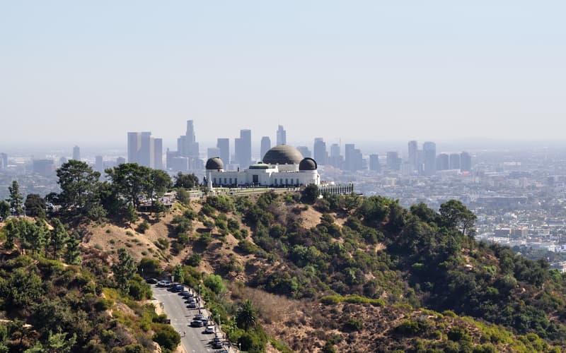
 Southern California
 Los Angeles
Film studios, beach towns and hilltop views spread across a vast, sunny basin — a city you plan by neighbourhood, not by map.
Four stops in the national park followed by four in and around Palm Springs.
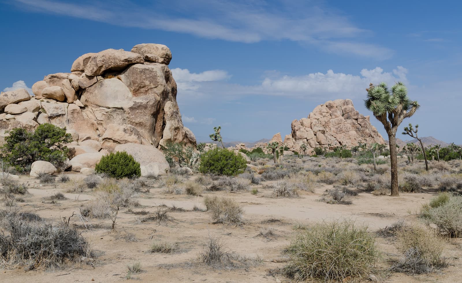
The heart of the park. A level 1.6 km (1-mile) loop winds through a natural enclosure ringed by huge granite boulders, once said to be used by cattle rustlers. This is also the best area to see Joshua trees — not true trees but a species of yucca — and rock climbers at work.
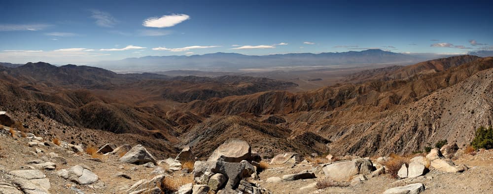
A viewpoint on the crest of the Little San Bernardino Mountains at about 1,580 m (5,185 ft). On a clear day you look down on the Coachella Valley, the line of the San Andreas Fault, the Salton Sea and Mount San Jacinto. Popular at sunset.
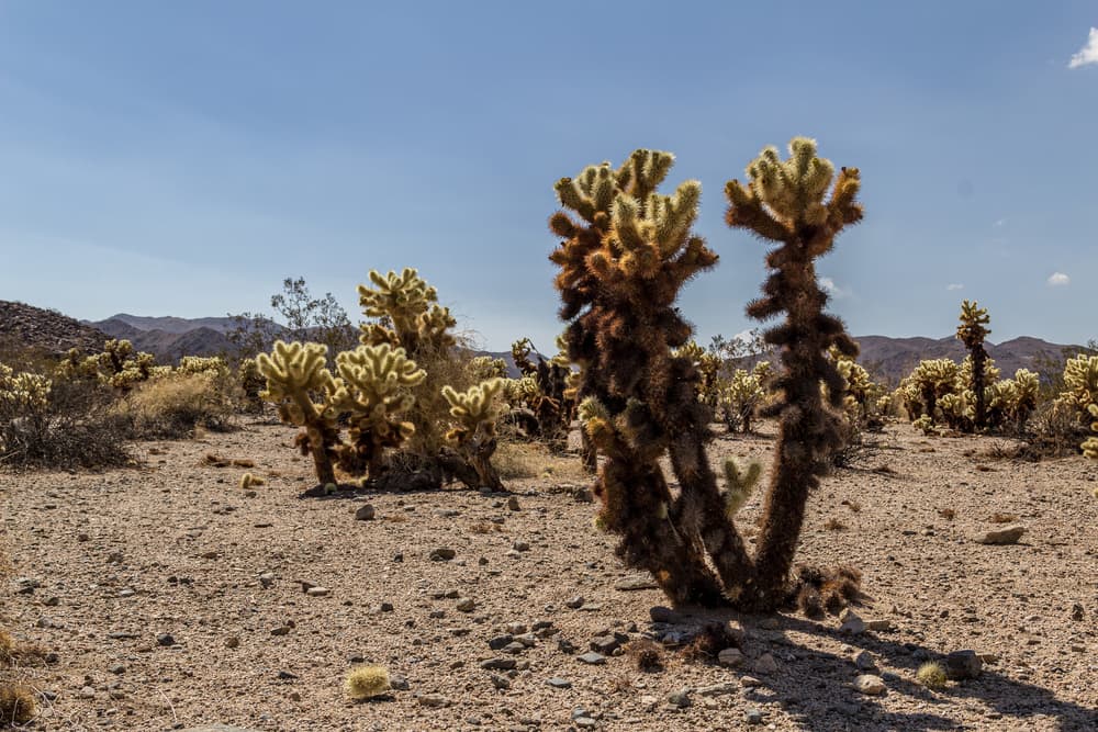
A dense natural stand of teddy-bear cholla in the park’s lower, hotter eastern half, crossed by a short flat path. The spines glow in early-morning and late-afternoon light — and detach at the lightest touch, so keep to the path.
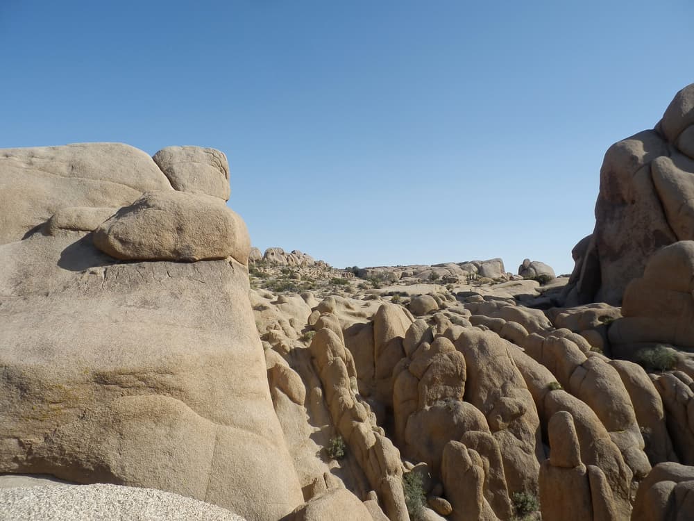
A granite boulder beside the main park road, hollowed by erosion into the shape of a skull. A nature trail of about 2.7 km (1.7 miles) loops through the surrounding rock gardens.
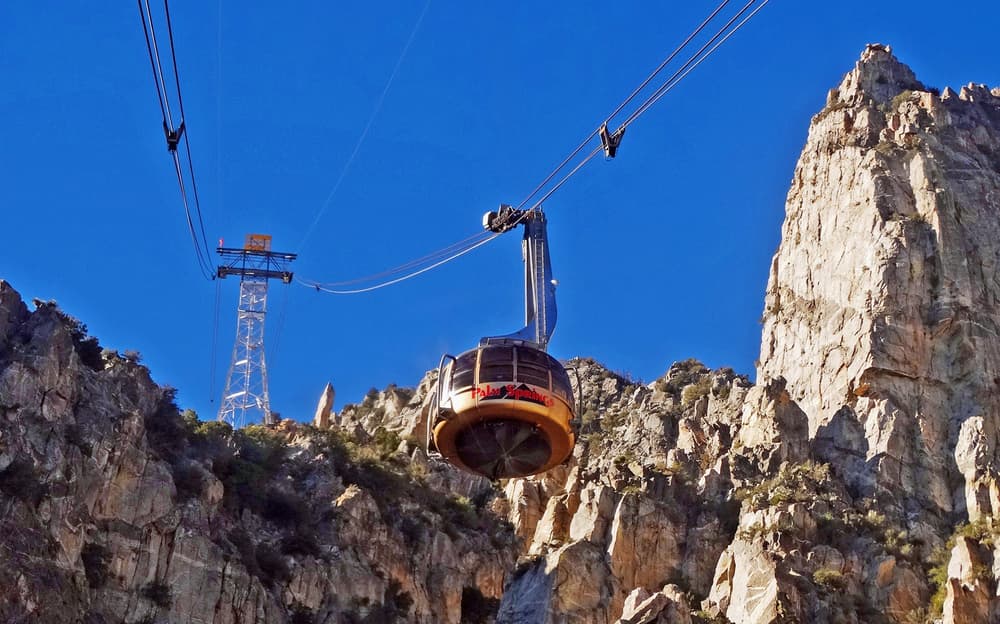
The world’s largest rotating tram car climbs about 1,800 m (nearly 6,000 ft) up Chino Canyon in ten minutes. At the top it is typically 15–20°C (30–40°F) cooler than in town, with forest walks in summer and often snow in winter.
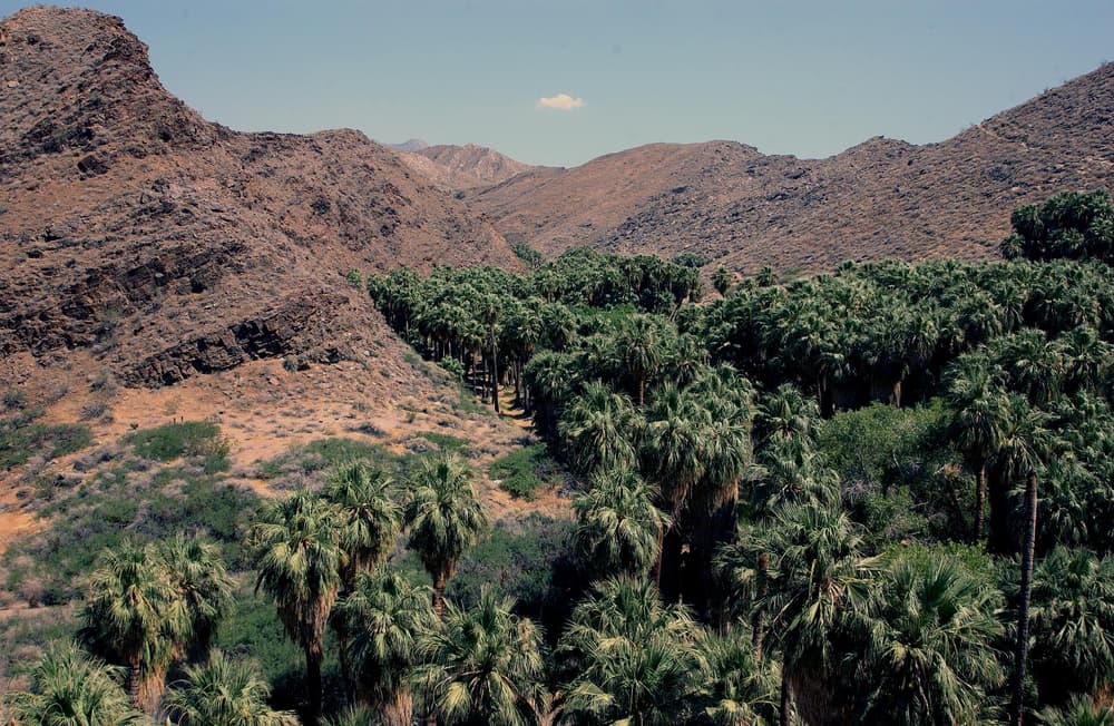
The ancestral home of the Agua Caliente Band of Cahuilla Indians, who manage the canyons today. Palm Canyon holds one of the largest groves of native California fan palms; Andreas Canyon has an easy, shaded streamside loop. Hours are reduced in summer.
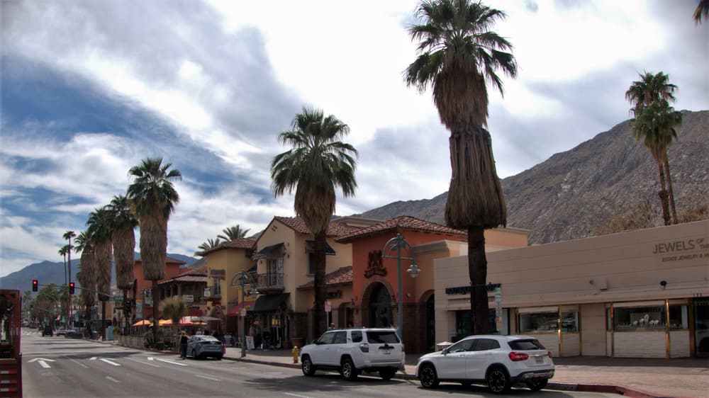
Palm Canyon Drive is the walkable main street of shops, restaurants and the Thursday evening street market. The surrounding neighbourhoods are full of butterfly roofs and glass walls by architects such as Albert Frey and Richard Neutra; pick up a map or join a tour.
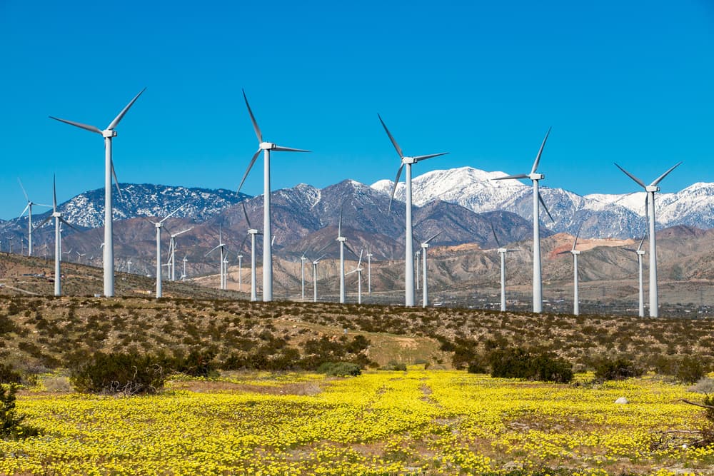
Thousands of wind turbines fill the pass west of town, one of the windiest places in California and an early centre of commercial wind power. You see them from Interstate 10; a self-drive tour takes you in among them.
Southern California Film studios, beach towns and hilltop views spread across a vast, sunny basin — a city you plan by neighbourhood, not by map.
 Southern California
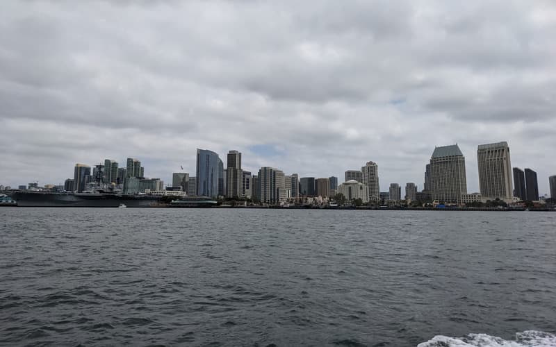
 California’s easy-going southern city: a great urban park, a world-famous zoo, sea lions on the rocks and about 110 km of beaches.
 Deserts
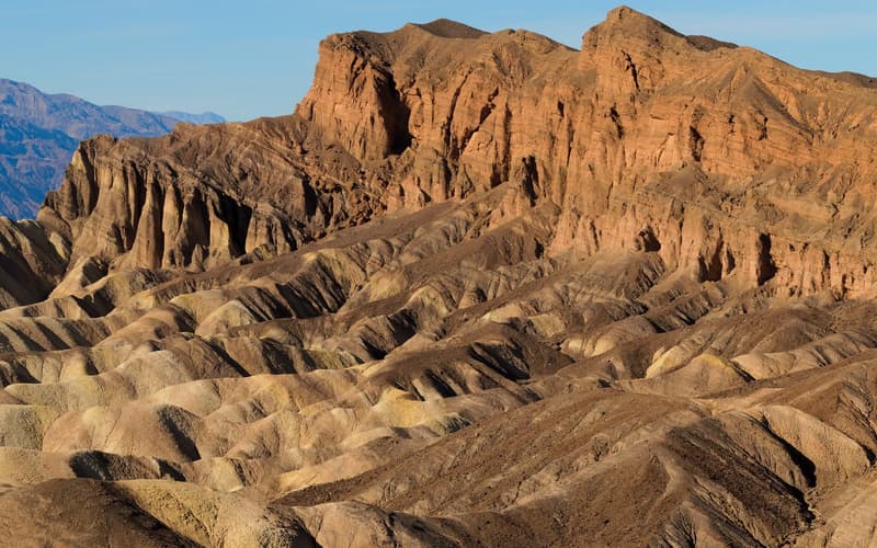
 The hottest, driest and lowest place in North America — salt flats, sand dunes and painted badlands on a scale that is hard to take in.
Compare real-time prices and availability on GetYourGuide. Most tours can be cancelled free of charge up to 24 hours ahead.