Routes at a glance
| From | How | Time | Good to know |
|---|---|---|---|
| Los Angeles (Union Station) | Pacific Surfliner train | About 2.75 hours | Runs along the shore north of Ventura; station is beside the Funk Zone |
| Los Angeles | Car | 1.5–2 hours | Via US-101; much slower at rush hour |
| LAX airport | Airport coach | About 2.5 hours | Scheduled direct service several times a day |
| Santa Barbara airport (SBA) | Taxi or ride-hailing | 15–20 minutes | Small airport in Goleta, west of the city |
| San Luis Obispo | Car or train | 1.75–2.5 hours | Halfway point to Monterey |
| Monterey | Car | 4–4.5 hours via US-101 | Longer via Big Sur when Highway 1 is fully open |
| Solvang / Santa Ynez | Car | 40–45 minutes | Via Highway 154 over San Marcos Pass |
By train
The Pacific Surfliner runs several times a day from San Diego and Los Angeles, and the once-daily Coast Starlight also stops. The Spanish-style station is two blocks from the beach and a short walk from State Street, so you can arrive, sightsee and leave without a car. Check for service changes before you travel, as coastal track works occasionally interrupt trains.
By car
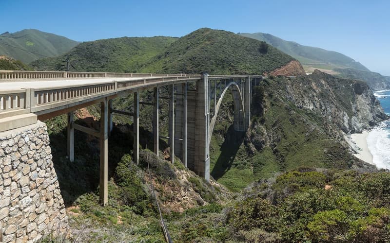
From Los Angeles, US-101 follows the coast from Ventura with the Channel Islands offshore. Heading north towards Big Sur and Monterey, you can either stay on US-101 or take Highway 154 through the Santa Ynez Valley and rejoin it later. City car parks downtown are inexpensive, with the first period often free.
Getting around locally
- Downtown and the waterfront are about 1.5 km (1 mile) apart and easily walked.
- Electric shuttle buses run along State Street and the waterfront in the main season.
- Bike hire shops cluster near Stearns Wharf; the beachfront path is flat and traffic-free.
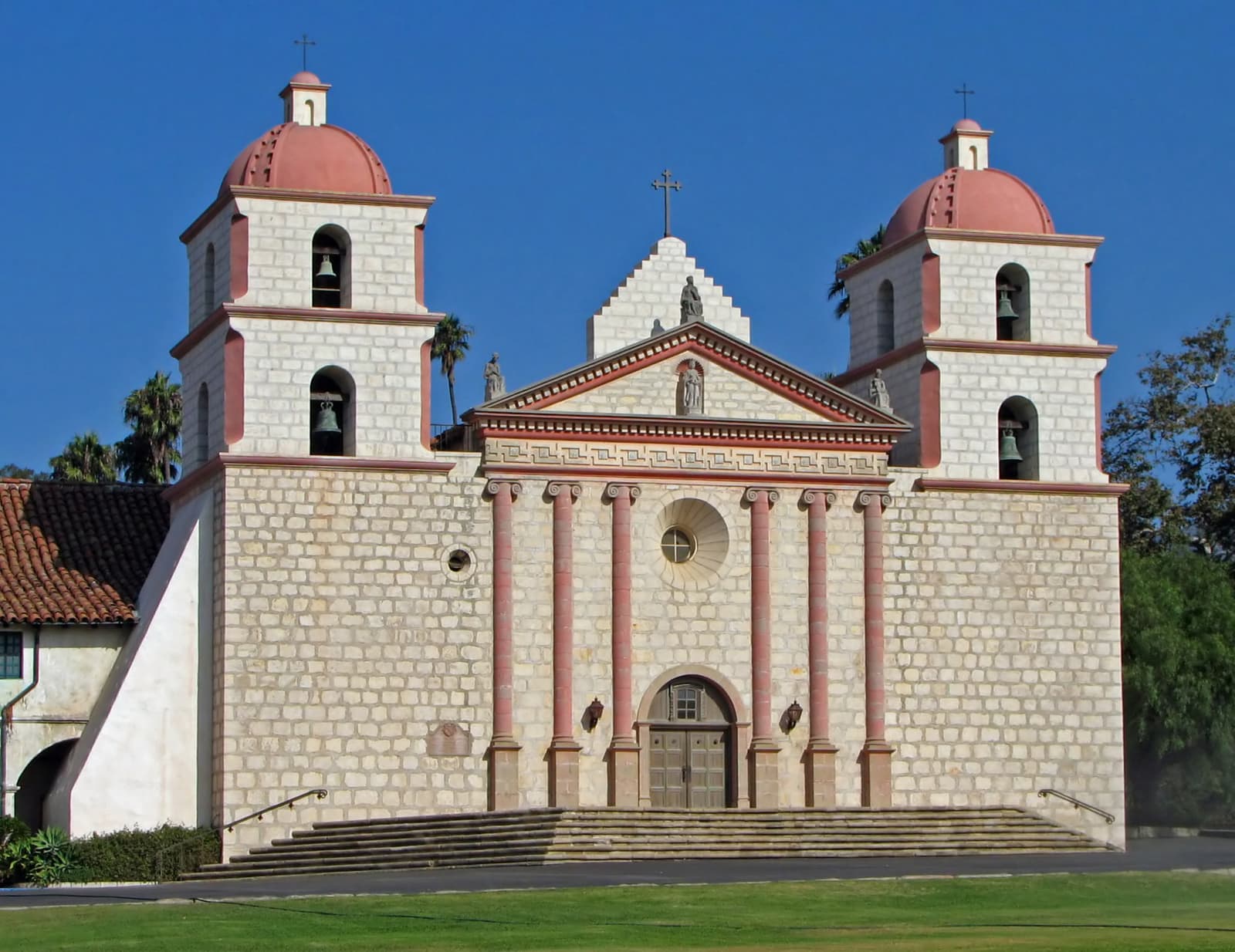
- The mission is about 3 km (2 miles) uphill from the centre — take a bus, a taxi, the trolley or an e-bike.
- You need a car or a tour for the Santa Ynez Valley; there is little public transport.