Routes at a glance
| From | How | Time | Good to know |
|---|---|---|---|
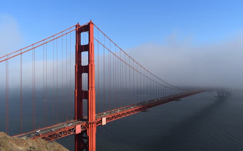
| San Francisco | Car | 3.5–4 hours | I-80 to the north shore or US-50 to the south shore |
| Sacramento | Car | About 2 hours | Busy on Friday and Sunday evenings |
| Reno–Tahoe airport (RNO) | Car or shuttle | About 1 hour | Scheduled airport shuttles serve the south and north shores |
| Bay Area | Amtrak train to Truckee | About 5.5 hours | One daily California Zephyr; delays are common |
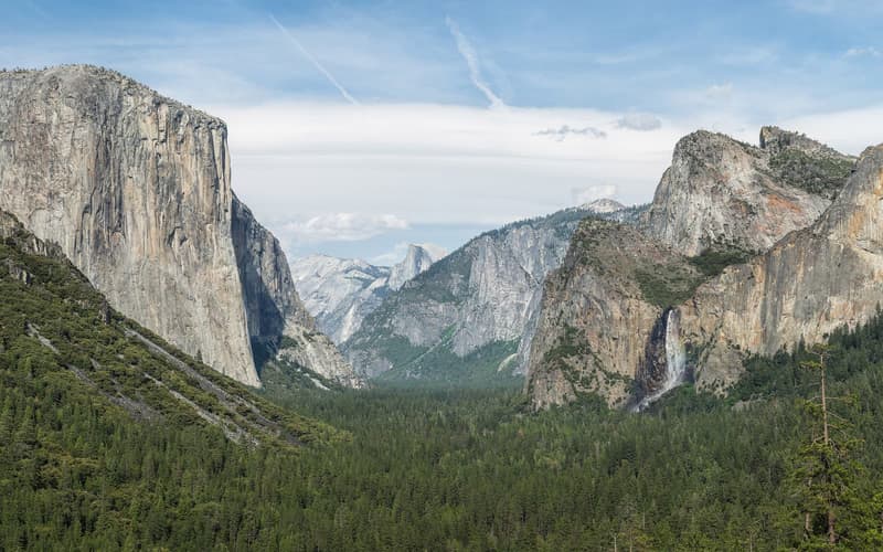
| Yosemite Valley | Car | 4–4.5 hours | Via Tioga Pass and US-395, summer and early autumn only |
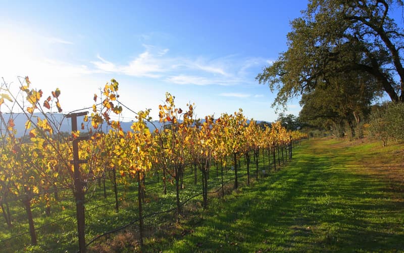
| Napa | Car | About 3 hours | Via Interstate 80 |
North shore or south shore?
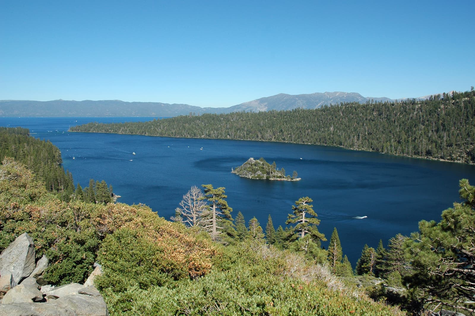
Interstate 80 crosses Donner Summit to Truckee, the gateway to the north and west shores and to Palisades Tahoe and Northstar. US Highway 50 climbs over Echo Summit to South Lake Tahoe and Heavenly. The two are linked by Highway 89 along the west shore, past Emerald Bay, and by Highway 28 along the Nevada side.
Winter driving
Between about November and April, storms regularly bring chain controls to both main routes: you must carry tyre chains or have a four-wheel-drive vehicle with snow tyres, and roads close altogether in the worst weather. Many rental contracts do not allow chains to be fitted, so ask before you book and check Caltrans road conditions on the day. Allow extra time and keep the tank full.
Getting around locally
- A car is the most practical way around the lake; allow about three hours to drive the full circuit without stops.
- Local buses and free seasonal shuttles run along the south and north shores, and to some ski resorts and beaches.
- Summer parking at Emerald Bay, Sand Harbor and popular trailheads fills early — arrive before 9 am.
- Paved cycle paths follow parts of the west and north shores and the south shore near Camp Richardson.
- Roadside parking is banned on some stretches of highway; use signed car parks to avoid a fine.