Routes at a glance
| From | How | Time | Good to know |
|---|---|---|---|
| San Francisco | Car | 1–1.5 hours | Via the Golden Gate Bridge or the Bay Bridge; slower on Friday afternoons |
| San Francisco | Guided day tour | 8–10 hours return | Transport and winery stops arranged |
| San Francisco | Ferry to Vallejo + bus | About 2 hours | Scenic and cheap; the bus continues to downtown Napa |
| SFO / OAK airports | Car | 1.25–1.75 hours | Oakland is slightly closer |
| Sacramento | Car | About 1 hour | Via Interstate 80 |
| Napa to Sonoma | Car | 30 minutes | Via Highway 12/121 through Carneros |
| Napa to Calistoga | Car | 40–50 minutes | The length of the valley on Highway 29 |
Driving from San Francisco
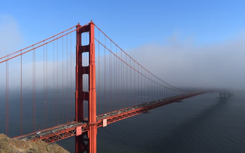
For Sonoma, cross the Golden Gate Bridge and follow Highway 101 and then Highway 37 and 121. For Napa, either continue on the same route or cross the Bay Bridge and take Interstate 80 to Highway 29. Both valleys can be combined in a loop. The Golden Gate Bridge toll is collected electronically on the way back into the city.
Getting around without driving
California’s drink-driving limit is a blood-alcohol level of 0.08%, and a few generous tastings can put you over it. If nobody in your group wants to abstain, book a tour, hire a driver for the day — many local companies will drive your own rental car — or use ride-hailing between wineries around the towns of Napa and Sonoma, where it is most reliable.
The Napa Valley Vine Trail offers a flat cycle route between Napa and Yountville, with more sections being added.
Getting around locally
- Distances are short but Highway 29 clogs with traffic on weekend afternoons; use the Silverado Trail instead.
- Ride-hailing works in and between the main towns but is patchy in rural areas and late at night.
- Local Vine buses link Napa Valley’s towns cheaply, though not individual wineries.
- Bike hire is available in Napa, Yountville, Sonoma and Healdsburg.
- Downtown Napa, Sonoma Plaza and Healdsburg each have enough tasting rooms to fill an afternoon on foot.