 Sierra Nevada & national parks
 Yosemite
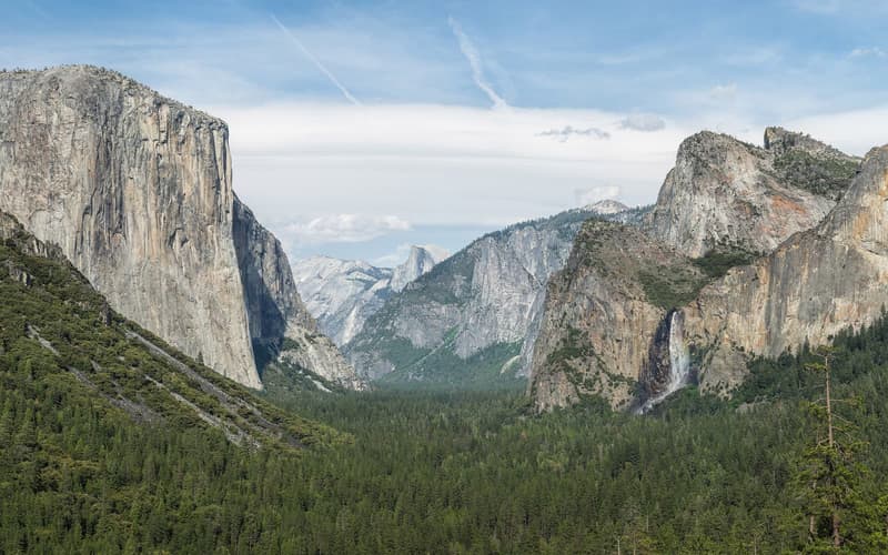
Granite cliffs a kilometre high, some of the tallest waterfalls in North America and groves of giant sequoias — the Sierra Nevada at its grandest.
Seven sights along the Generals Highway, from the Giant Forest north to Kings Canyon.
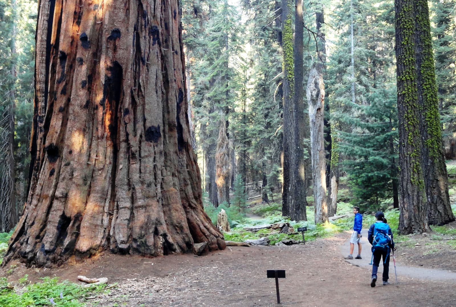
A paved loop of about 3 km (2 miles) leaves from the Sherman Tree and wanders through the densest part of the forest, passing clusters of giants known as the House and the Senate. It is the best short walk in the park and far less crowded than the Sherman Tree itself.
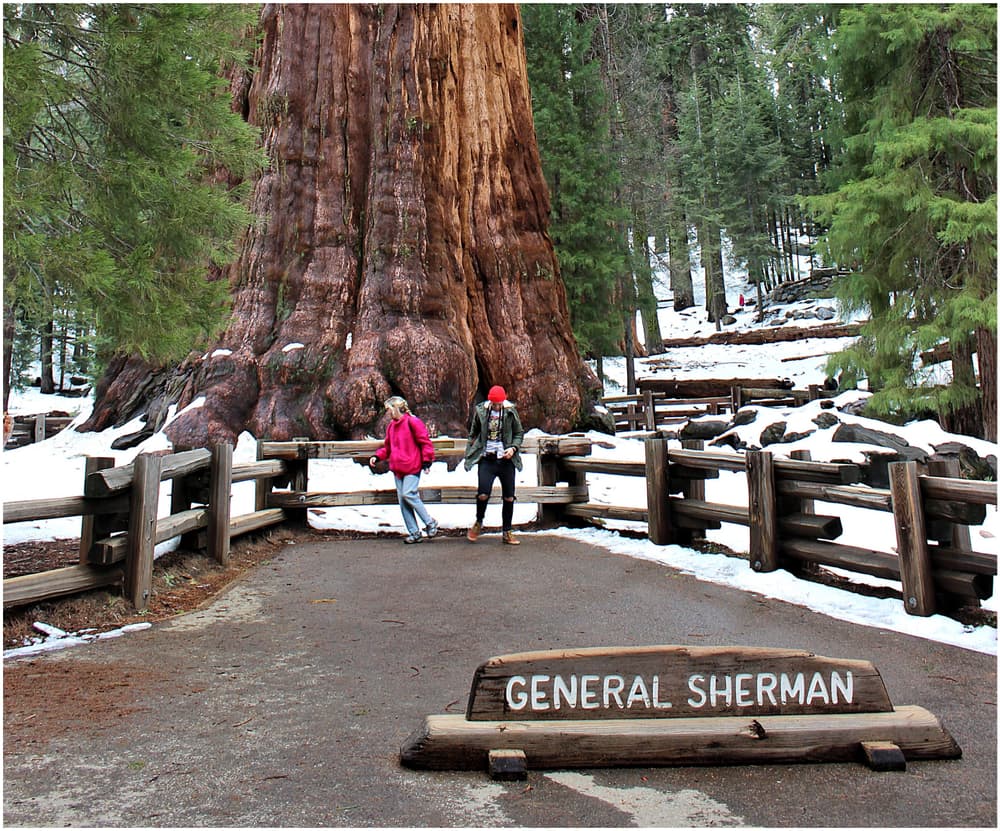
About 84 m (275 ft) tall and more than 11 m (36 ft) across at the base, estimated to be some 2,200 years old. The main path descends about 800 m (half a mile) from the upper car park; the walk back up is at 2,100 m (7,000 ft) and feels it. An accessible car park lies closer.
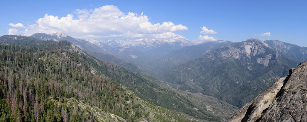
A granite dome on the edge of the Giant Forest. A stairway of about 350 steps cut into the rock in the 1930s leads to the summit, with views of the peaks of the Great Western Divide and down to the foothills. Avoid it in thunderstorms or icy conditions.
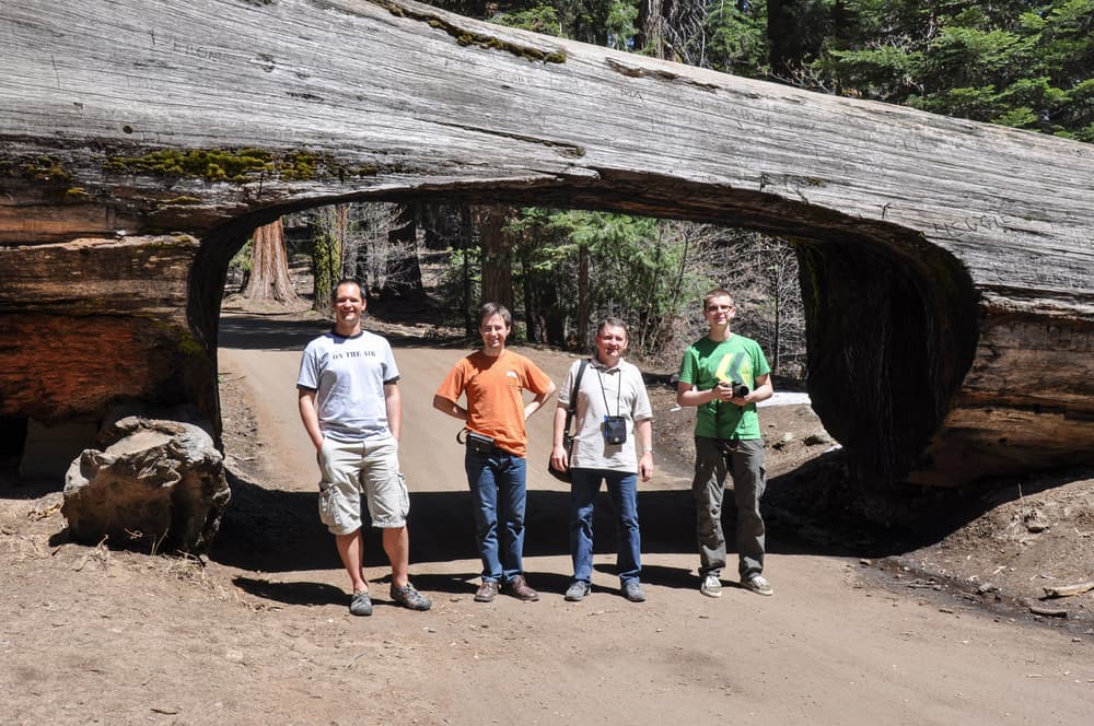
A sequoia that fell across the road in 1937 had a tunnel cut through it, and cars can still drive under. The same road ends at Crescent Meadow, a flowery clearing ringed by sequoias with an easy loop trail. The road is closed to private cars on busy summer days, when a shuttle runs, and in winter.
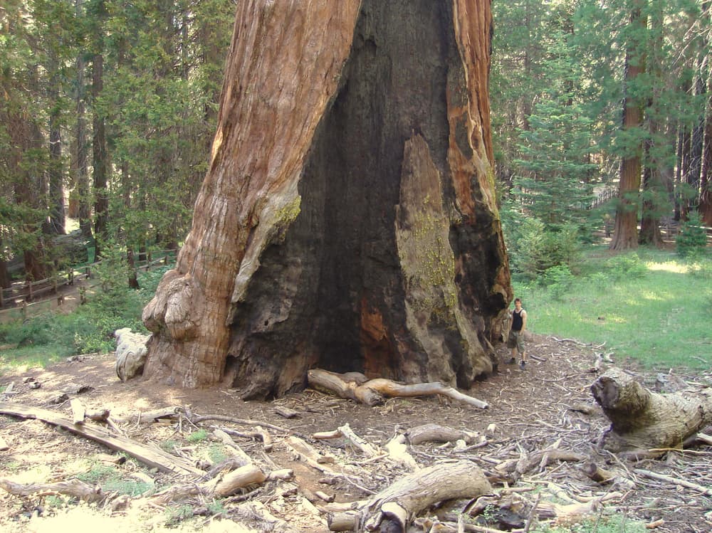
In Kings Canyon National Park, an hour north of the Giant Forest. The General Grant Tree is the second-largest tree in the world and was named the Nation’s Christmas Tree in 1926. A short paved loop passes it, a fallen hollow trunk you can walk through and a pioneer cabin.
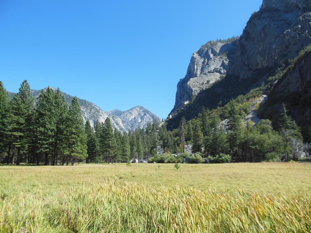
Highway 180 descends for about 50 km (30 miles) from Grant Grove into the canyon of the Kings River, ending at Cedar Grove beneath granite walls. The easy loop at Zumwalt Meadow is the highlight. The road is open only from about late spring to autumn.
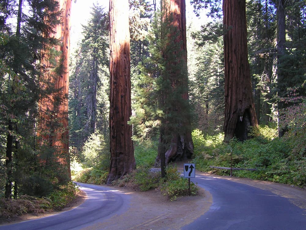
The road that links the two parks and their two “generals”, climbing from oak foothills at 500 m to the sequoia belt at over 2,000 m in a long series of hairpin bends. Viewpoints and picnic areas line the route. Long vehicles are discouraged on the steepest section.
Sierra Nevada & national parks Granite cliffs a kilometre high, some of the tallest waterfalls in North America and groves of giant sequoias — the Sierra Nevada at its grandest.
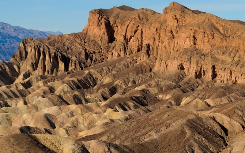 Deserts
 The hottest, driest and lowest place in North America — salt flats, sand dunes and painted badlands on a scale that is hard to take in.
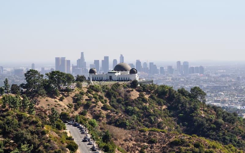 Southern California
 Film studios, beach towns and hilltop views spread across a vast, sunny basin — a city you plan by neighbourhood, not by map.
Compare real-time prices and availability on GetYourGuide. Most tours can be cancelled free of charge up to 24 hours ahead.